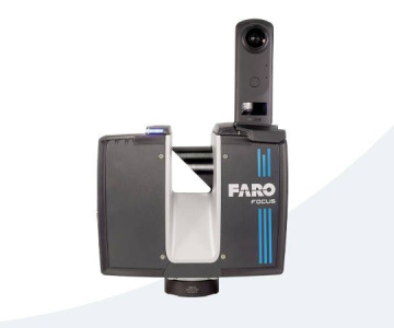
Faro Terrestrial 3D Scanners are advanced devices that digitize the physical world into a precise "point cloud", speeding up the measurement process and collecting huge amounts of data. They emit laser beams and measure the return time to calculate 3D coordinates, resulting in a dense point cloud for detailed 3D models. Their versatile applications span construction, architecture, surveying, industry and cultural heritage, making them an indispensable tool for efficient and accurate projects.